Altenweiher
Shared by: ElsaNord
Description
Altenweiher est un lac du Haut-Rhin. Source : https://www.wikidata.org/wiki/Q2840333
Information
Department: [FR], Collectivité européenne d'Alsace (68), Metzeral
Location: Grand Est

 Kestufela
Discover the French regions through local contributions, heritage, food, expressions and outings shared on Kestufela.
 Grand EstGrand Est (Eastern France)
Regional profile
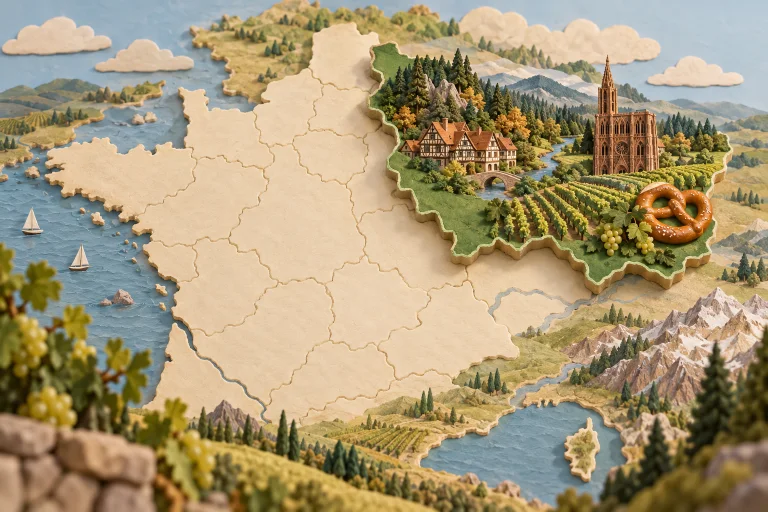
Grand Est connects Alsace, Champagne, Lorraine and the Ardennes across several European borders. Its towns, cathedrals, forests and vineyards carry layered histories. Champagne, Alsatian wines, pretzels, sauerkraut, mirabelles and quiche Lorraine show its culinary range.
 Haut-Rhin
 (68) offers local discoveries around Colmar, Mulhouse. Highlights include the villages of the wine route, industrial museums and the Vosges mountains.
Explore public contributions related to this theme.
Shared by: ElsaNord
Altenweiher est un lac du Haut-Rhin. Source : https://www.wikidata.org/wiki/Q2840333
Department: [FR], Collectivité européenne d'Alsace (68), Metzeral
Location: Grand Est